Band hut and brownie & guide hut
Introduction
The photograph on this page of Band hut and brownie & guide hut by Bill Boaden as part of the Geograph project.
The Geograph project started in 2005 with the aim of publishing, organising and preserving representative images for every square kilometre of Great Britain, Ireland and the Isle of Man.

There are currently over 7.5m images from over 14,400 individuals and you can help contribute to the project by visiting https://www.geograph.org.uk
Band hut and brownie & guide hut
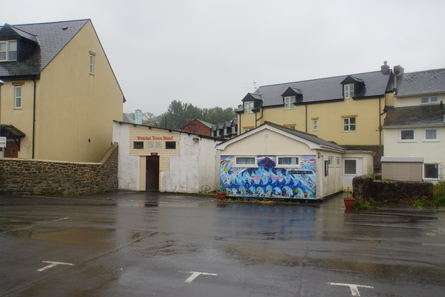
Image: © Bill Boaden Taken: 28 Jun 2017
Community group huts on the edge of the central car park.
Images are licensed for reuse under creativecommons.org/licenses/by-sa/2.0
Image Location
Latitude
51.181525
Longitude
-3.331497