Field and Wall Near Mill Farm
Introduction
The photograph on this page of Field and Wall Near Mill Farm by Mick Garratt as part of the Geograph project.
The Geograph project started in 2005 with the aim of publishing, organising and preserving representative images for every square kilometre of Great Britain, Ireland and the Isle of Man.

There are currently over 7.5m images from over 14,400 individuals and you can help contribute to the project by visiting https://www.geograph.org.uk
Field and Wall Near Mill Farm
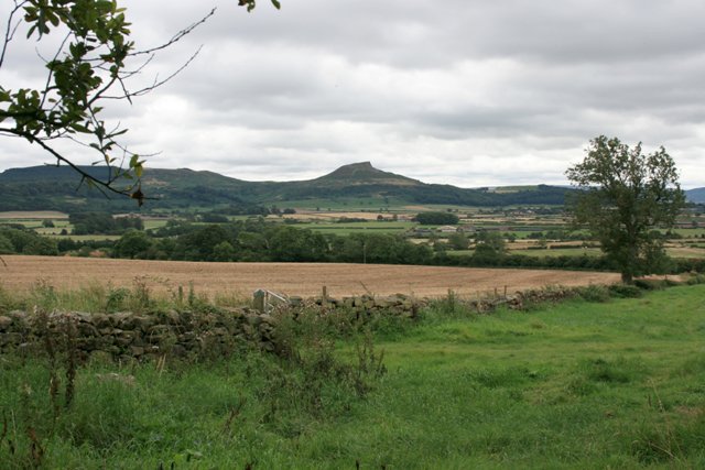
Image: © Mick Garratt Taken: 2 Sep 2007
The distinctive peak of Roseberry Topping (NZ5712) dominates all squares in the flat lands between Guisborough and Nunthorpe.
Images are licensed for reuse under creativecommons.org/licenses/by-sa/2.0
Image Location
Latitude
54.537019
Longitude
-1.127379