Dovecote at Monk Farm
Introduction
The photograph on this page of Dovecote at Monk Farm by Andrew Curtis as part of the Geograph project.
The Geograph project started in 2005 with the aim of publishing, organising and preserving representative images for every square kilometre of Great Britain, Ireland and the Isle of Man.

There are currently over 7.5m images from over 14,400 individuals and you can help contribute to the project by visiting https://www.geograph.org.uk
Dovecote at Monk Farm
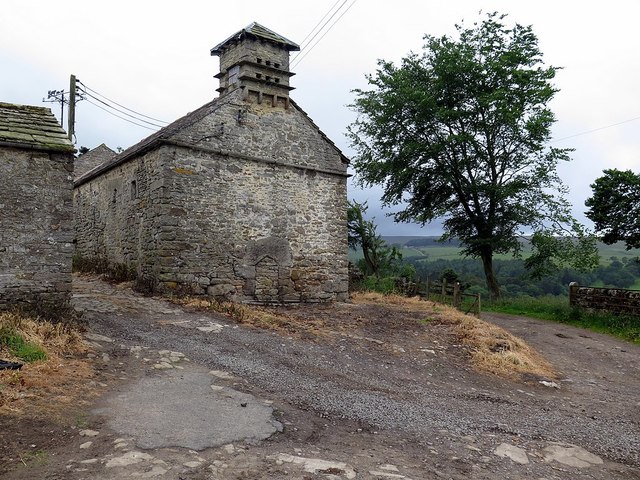
Image: © Andrew Curtis Taken: 23 Jun 2017
See another view here Image
Images are licensed for reuse under creativecommons.org/licenses/by-sa/2.0
Image Location
Latitude
54.903108
Longitude
-2.339154