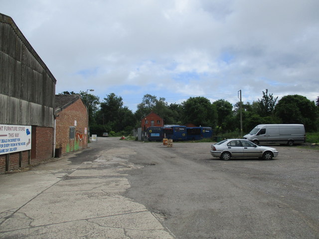
St Michaels Trading Estate, Bridport
Introduction
The photograph on this page of St Michaels Trading Estate, Bridport by John Stephen as part of the Geograph project.
The Geograph project started in 2005 with the aim of publishing, organising and preserving representative images for every square kilometre of Great Britain, Ireland and the Isle of Man.
There are currently over 7.5m images from over 14,400 individuals and you can help contribute to the project by visiting https://www.geograph.org.uk

Image: © John Stephen Taken: 4 Jun 2017
Red Brick Café in the centre distance with Damory bus compound (they took over a lot of local Wilts and Dorset routes). St Michaels Trading Estate in Bridport was the centre of the rope and twine making industry in the town. It was then a cattle market and is now home to various small businesses, antique dealers, artist's studios and the like. The infrastructure is run down and shabby, but rents are low, which allows some of the smaller businesses to survive. The owners have wished to redevelop the area and include some housing to fund the development for at least the last ten years. There have been interminable arguments about the future of the site between those who think it an eyesore which needs redevelopment to enhance the town, and those who consider it "The Arts and Vintage Quarter" an asset to the "quirky" reputation of the town. The current planning application has had comments from far and wide, visitors, some from abroad, mainly supporting its retention as is. Judge for yourselves, but either way improvement is required.

