North Hermitage Street (B6357), Newcastleton
Introduction
The photograph on this page of North Hermitage Street (B6357), Newcastleton by G Laird as part of the Geograph project.
The Geograph project started in 2005 with the aim of publishing, organising and preserving representative images for every square kilometre of Great Britain, Ireland and the Isle of Man.

There are currently over 7.5m images from over 14,400 individuals and you can help contribute to the project by visiting https://www.geograph.org.uk
North Hermitage Street (B6357), Newcastleton
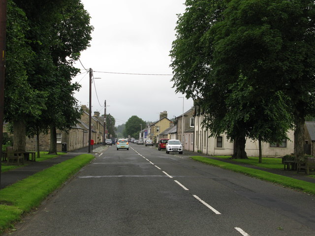
Image: © G Laird Taken: 1 Jul 2017
A look along the main street in Newcastleton from the north. Most of the village of Newcastleton is on or fairly close to North Hermitage Street or its continuation South Hermitage Street.
Images are licensed for reuse under creativecommons.org/licenses/by-sa/2.0
Image Location
Latitude
55.181969
Longitude
-2.810902