Bingham: churchyard and Church Street
Introduction
The photograph on this page of Bingham: churchyard and Church Street by John Sutton as part of the Geograph project.
The Geograph project started in 2005 with the aim of publishing, organising and preserving representative images for every square kilometre of Great Britain, Ireland and the Isle of Man.

There are currently over 7.5m images from over 14,400 individuals and you can help contribute to the project by visiting https://www.geograph.org.uk
Bingham: churchyard and Church Street
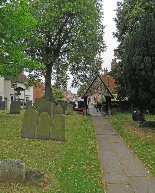
Image: © John Sutton Taken: 27 Jun 2017
The elaborate lychgate was designed by Frank Miles, the son of the rector, in 1881. The gable on this side is fretted wood. The other side, an iron filigree, is shown in Kate Jewell's Image The picture was taken on a showery and overcast June morning.
Images are licensed for reuse under creativecommons.org/licenses/by-sa/2.0
Image Location
Latitude
52.952102
Longitude
-0.949287