Bingham: Church Lane
Introduction
The photograph on this page of Bingham: Church Lane by John Sutton as part of the Geograph project.
The Geograph project started in 2005 with the aim of publishing, organising and preserving representative images for every square kilometre of Great Britain, Ireland and the Isle of Man.

There are currently over 7.5m images from over 14,400 individuals and you can help contribute to the project by visiting https://www.geograph.org.uk
Bingham: Church Lane
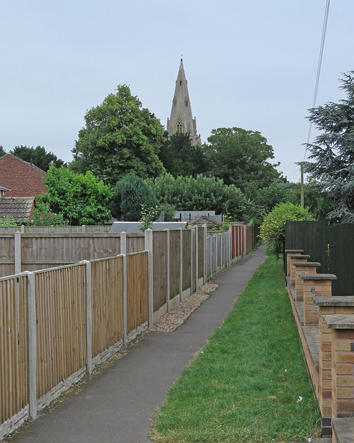
Image: © John Sutton Taken: 27 Jun 2017
Looking towards the fine spire of the parish church of St Mary and All Saints on an overcast and showery June morning.
Images are licensed for reuse under creativecommons.org/licenses/by-sa/2.0
Image Location
Latitude
52.953175
Longitude
-0.948665