Back up the Brook
Introduction
The photograph on this page of Back up the Brook by Neil Owen as part of the Geograph project.
The Geograph project started in 2005 with the aim of publishing, organising and preserving representative images for every square kilometre of Great Britain, Ireland and the Isle of Man.

There are currently over 7.5m images from over 14,400 individuals and you can help contribute to the project by visiting https://www.geograph.org.uk
Back up the Brook
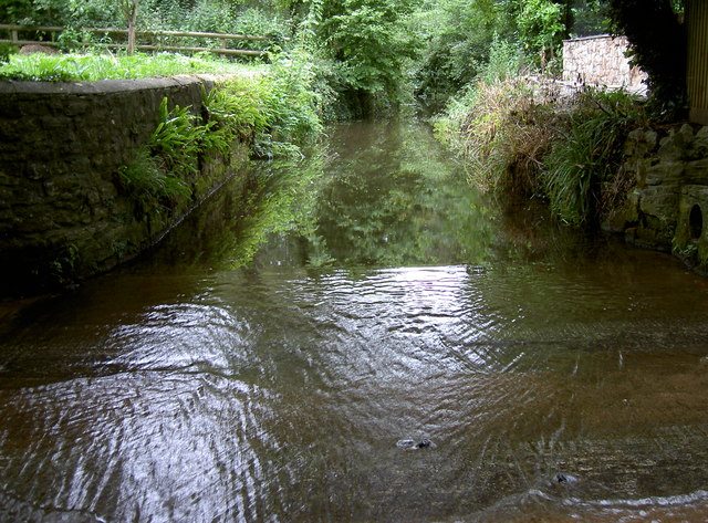
Image: © Neil Owen Taken: 29 Jun 2017
The ford at Chew Magna's Dark Lane allows the water flowing from the west end of Dundry Hill to go through the village. The water is known as the Winford Brook or Littleton Brook - both rise near the respective villages and converge a short distance upstream.
Images are licensed for reuse under creativecommons.org/licenses/by-sa/2.0
Image Location
Latitude
51.36712
Longitude
-2.619778