Moor End Road at FP493, near Mount Tabor
Introduction
The photograph on this page of Moor End Road at FP493, near Mount Tabor by Humphrey Bolton as part of the Geograph project.
The Geograph project started in 2005 with the aim of publishing, organising and preserving representative images for every square kilometre of Great Britain, Ireland and the Isle of Man.

There are currently over 7.5m images from over 14,400 individuals and you can help contribute to the project by visiting https://www.geograph.org.uk
Moor End Road at FP493, near Mount Tabor
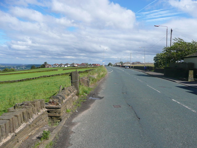
Image: © Humphrey Bolton Taken: 25 Jun 2017
This road looks like a main road, but is unclassified.
Images are licensed for reuse under creativecommons.org/licenses/by-sa/2.0
Image Location
Latitude
53.738456
Longitude
-1.916733