Doles Lane
Introduction
The photograph on this page of Doles Lane by Malcolm Neal as part of the Geograph project.
The Geograph project started in 2005 with the aim of publishing, organising and preserving representative images for every square kilometre of Great Britain, Ireland and the Isle of Man.

There are currently over 7.5m images from over 14,400 individuals and you can help contribute to the project by visiting https://www.geograph.org.uk
Doles Lane
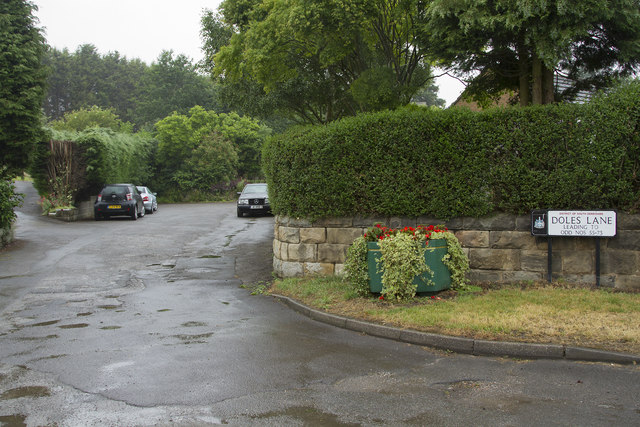
Image: © Malcolm Neal Taken: 29 Jun 2017
Doles Lane runs out of Findern towards Derby via the island over the A38. This leads to the two suburbs of Mickleover and Littleover. What you see here is a small offshoot of Doles Lane with the main part of it that connects to Derby off the picture on the right.
Images are licensed for reuse under creativecommons.org/licenses/by-sa/2.0
Image Location
Latitude
52.87353
Longitude
-1.544738