A609 - Trowell Moor
Introduction
The photograph on this page of A609 - Trowell Moor by Stephen McKay as part of the Geograph project.
The Geograph project started in 2005 with the aim of publishing, organising and preserving representative images for every square kilometre of Great Britain, Ireland and the Isle of Man.

There are currently over 7.5m images from over 14,400 individuals and you can help contribute to the project by visiting https://www.geograph.org.uk
A609 - Trowell Moor
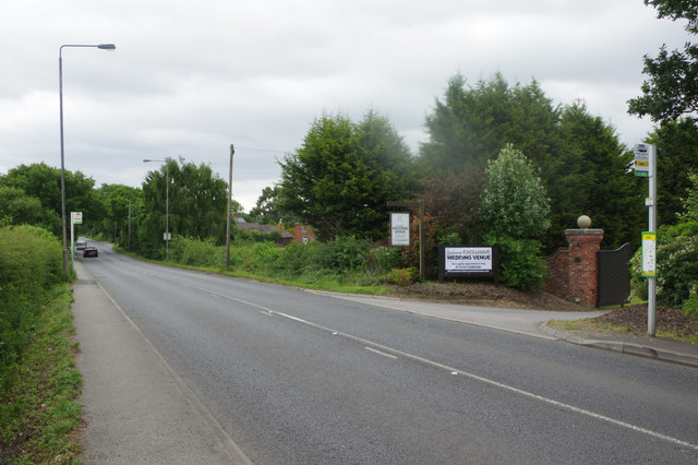
Image: © Stephen McKay Taken: 24 Jun 2017
The A609 briefly passes through a stretch of open countryside as it crosses the relatively high land of Trowell Moor between Trowell village and Wollaton.
Images are licensed for reuse under creativecommons.org/licenses/by-sa/2.0
Image Location
Latitude
52.955587
Longitude
-1.256293