Varteg Road bus stop, shelter and bench, Varteg
Introduction
The photograph on this page of Varteg Road bus stop, shelter and bench, Varteg by Jaggery as part of the Geograph project.
The Geograph project started in 2005 with the aim of publishing, organising and preserving representative images for every square kilometre of Great Britain, Ireland and the Isle of Man.

There are currently over 7.5m images from over 14,400 individuals and you can help contribute to the project by visiting https://www.geograph.org.uk
Varteg Road bus stop, shelter and bench, Varteg
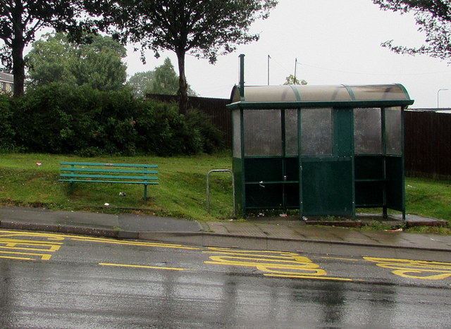
Image: © Jaggery Taken: 28 Jun 2017
This side of the B4246 Varteg Road for buses to Abersychan, Pontypool, Cwmbran, Newport and places in between. A small plaque on the bench shows PROVIDED BY PONTYPOOL COMMUNITY COUNCIL.
Images are licensed for reuse under creativecommons.org/licenses/by-sa/2.0
Image Location
Latitude
51.739636
Longitude
-3.070204