Lane to Llanycrwys in Carmarthenshire
Introduction
The photograph on this page of Lane to Llanycrwys in Carmarthenshire by Roger D Kidd as part of the Geograph project.
The Geograph project started in 2005 with the aim of publishing, organising and preserving representative images for every square kilometre of Great Britain, Ireland and the Isle of Man.

There are currently over 7.5m images from over 14,400 individuals and you can help contribute to the project by visiting https://www.geograph.org.uk
Lane to Llanycrwys in Carmarthenshire
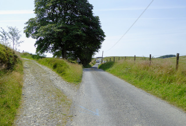
Image: © Roger D Kidd Taken: 21 Jun 2017
This is probably part of the course followed by the Roman Sarn Helen, about two miles south-east of Llanfair Clydogau. The stony road off to the left leads through fields of rough pasture to the southern part of the Clywedog Plantation. See also http://www.geograph.org.uk/photo/4076938
Images are licensed for reuse under creativecommons.org/licenses/by-sa/2.0
Image Location
Latitude
52.114148
Longitude
-3.978648