Eaton, Leicestershire
Introduction
The photograph on this page of Eaton, Leicestershire by Kate Jewell as part of the Geograph project.
The Geograph project started in 2005 with the aim of publishing, organising and preserving representative images for every square kilometre of Great Britain, Ireland and the Isle of Man.

There are currently over 7.5m images from over 14,400 individuals and you can help contribute to the project by visiting https://www.geograph.org.uk
Eaton, Leicestershire
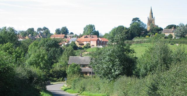
Image: © Kate Jewell Taken: 17 Sep 2005
Ironstone village built on the southern side of a small valley. The church stands on the highest point of the village. (Taken fromSK 802290)
Images are licensed for reuse under creativecommons.org/licenses/by-sa/2.0
Image Location


Leaflet Map data © OpenStreetMap
Latitude
52.852949
Longitude
-0.815946