Scoriton Farm
Introduction
The photograph on this page of Scoriton Farm by Derek Harper as part of the Geograph project.
The Geograph project started in 2005 with the aim of publishing, organising and preserving representative images for every square kilometre of Great Britain, Ireland and the Isle of Man.

There are currently over 7.5m images from over 14,400 individuals and you can help contribute to the project by visiting https://www.geograph.org.uk
Scoriton Farm
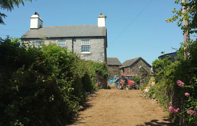
Image: © Derek Harper Taken: 18 Jun 2017
Taking the spelling from the board shown in Image], which shows the other side of the farmhouse. This view is from a lane which carries the Two Moors Way and the Dartmoor Way down to Langaford Bridge.
Images are licensed for reuse under creativecommons.org/licenses/by-sa/2.0
Image Location
Latitude
50.501921
Longitude
-3.828679