Access to storage area by B1032
Introduction
The photograph on this page of Access to storage area by B1032 by David Smith as part of the Geograph project.
The Geograph project started in 2005 with the aim of publishing, organising and preserving representative images for every square kilometre of Great Britain, Ireland and the Isle of Man.

There are currently over 7.5m images from over 14,400 individuals and you can help contribute to the project by visiting https://www.geograph.org.uk
Access to storage area by B1032
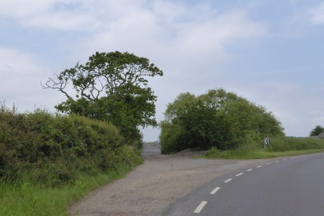
Image: © David Smith Taken: 31 May 2017
The B1032 between Holland-on-Sea and Great Holland has several bends, and in the angle of these bends are lay-bys and storage areas
Images are licensed for reuse under creativecommons.org/licenses/by-sa/2.0
Image Location
Latitude
51.81172
Longitude
1.20394