The Red Church at Bridgend
Introduction
The photograph on this page of The Red Church at Bridgend by Russel Wills as part of the Geograph project.
The Geograph project started in 2005 with the aim of publishing, organising and preserving representative images for every square kilometre of Great Britain, Ireland and the Isle of Man.

There are currently over 7.5m images from over 14,400 individuals and you can help contribute to the project by visiting https://www.geograph.org.uk
The Red Church at Bridgend
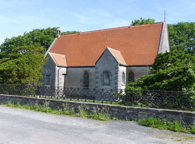
Image: © Russel Wills Taken: 20 Jun 2017
The building is now in private hands and is currently being converted into a catering establishment. http://blog.islayinfo.com/article.php/red-church-bridgend-islay
Images are licensed for reuse under creativecommons.org/licenses/by-sa/2.0
Image Location
Latitude
55.777052
Longitude
-6.248137