Chestham Park (1)
Introduction
The photograph on this page of Chestham Park (1) by Simon Carey as part of the Geograph project.
The Geograph project started in 2005 with the aim of publishing, organising and preserving representative images for every square kilometre of Great Britain, Ireland and the Isle of Man.

There are currently over 7.5m images from over 14,400 individuals and you can help contribute to the project by visiting https://www.geograph.org.uk
Chestham Park (1)
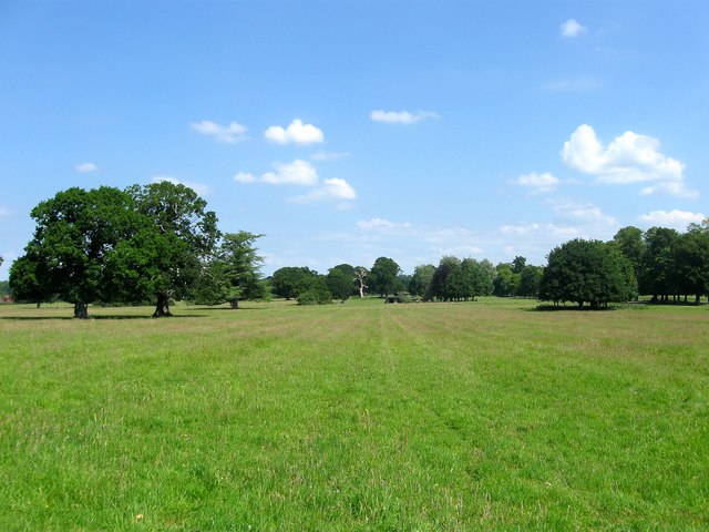
Image: © Simon Carey Taken: 18 Jun 2017
Laid out in the 1820s and consisting of roughly 46 acres located to the north and east of the A281 and B2116. The oaks on the left appear to have once been part of a hedgerow and have been incorporated into the parkland layout.
Images are licensed for reuse under creativecommons.org/licenses/by-sa/2.0
Image Location
Latitude
50.945484
Longitude
-0.271164