Southwark Council's plan of the Gateway Estate, Walworth, South London
Introduction
The photograph on this page of Southwark Council's plan of the Gateway Estate, Walworth, South London by Robin Stott as part of the Geograph project.
The Geograph project started in 2005 with the aim of publishing, organising and preserving representative images for every square kilometre of Great Britain, Ireland and the Isle of Man.

There are currently over 7.5m images from over 14,400 individuals and you can help contribute to the project by visiting https://www.geograph.org.uk
Southwark Council's plan of the Gateway Estate, Walworth, South London
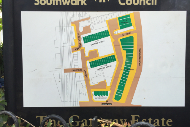
Image: © Robin Stott Taken: 27 Aug 2016
As well as newly-created Gateway, Dartford Street and Empress Street are named. Maps of the early 1950s show Walworth Road extending this far south, continuing as Camberwell Road. A current A-Z shows Walworth Road ending at the north end of Gateway, marked also by the postcode boundary between SE17 to the north and SE5 to the south.
Images are licensed for reuse under creativecommons.org/licenses/by-sa/2.0
Image Location


Leaflet Map data © OpenStreetMap
Latitude
51.483758
Longitude
-0.094904