Church Road
Introduction
The photograph on this page of Church Road by Simon Carey as part of the Geograph project.
The Geograph project started in 2005 with the aim of publishing, organising and preserving representative images for every square kilometre of Great Britain, Ireland and the Isle of Man.

There are currently over 7.5m images from over 14,400 individuals and you can help contribute to the project by visiting https://www.geograph.org.uk
Church Road
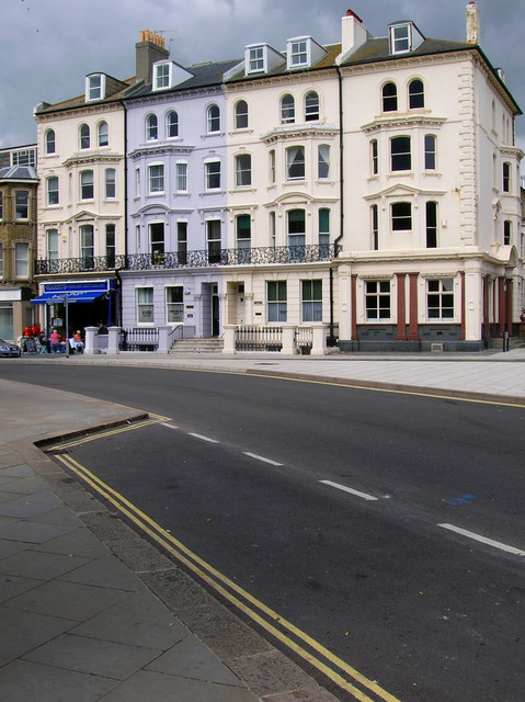
Image: © Simon Carey Taken: 2 Sep 2007
Opposite St John the Baptist church at the start of Church Road are these mid Victorian mansions now converted into flats.
Images are licensed for reuse under creativecommons.org/licenses/by-sa/2.0
Image Location
Latitude
50.827394
Longitude
-0.164632