Midland Way Retail
Introduction
The photograph on this page of Midland Way Retail by John Sutton as part of the Geograph project.
The Geograph project started in 2005 with the aim of publishing, organising and preserving representative images for every square kilometre of Great Britain, Ireland and the Isle of Man.

There are currently over 7.5m images from over 14,400 individuals and you can help contribute to the project by visiting https://www.geograph.org.uk
Midland Way Retail
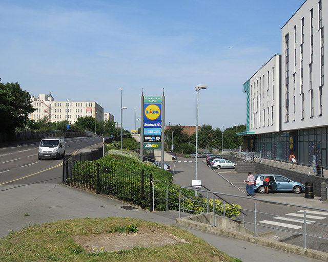
Image: © John Sutton Taken: 21 Jun 2017
The Opal 1 student flats are on the right (Nottingham University's Jubilee Campus is nearby). Wollaton Road rises to cross the railway at the site of Radford Station (closed 1964). The Midland Railway built this line and (presumably) gives its name to the shops and burger joints here. Beyond the railway, on the left, is the former Player's Bonded Warehouse, which was about to be demolished when this picture was taken.
Images are licensed for reuse under creativecommons.org/licenses/by-sa/2.0
Image Location
Latitude
52.955564
Longitude
-1.184247