Track to Candra
Introduction
The photograph on this page of Track to Candra by Derek Harper as part of the Geograph project.
The Geograph project started in 2005 with the aim of publishing, organising and preserving representative images for every square kilometre of Great Britain, Ireland and the Isle of Man.

There are currently over 7.5m images from over 14,400 individuals and you can help contribute to the project by visiting https://www.geograph.org.uk
Track to Candra
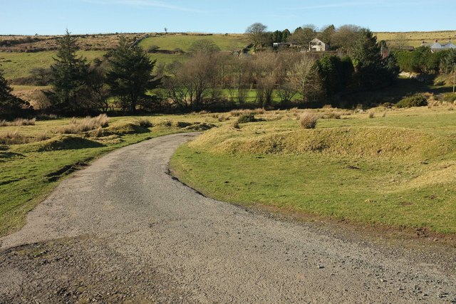
Image: © Derek Harper Taken: 25 Jan 2017
Looking the other way down the track shown in Image], here a public access route through access land crossing a tributary of the De Lank River. Middle Candra is on the other side.
Images are licensed for reuse under creativecommons.org/licenses/by-sa/2.0
Image Location


Leaflet Map data © OpenStreetMap
Latitude
50.570633
Longitude
-4.655272