Lane to Treswallock Downs
Introduction
The photograph on this page of Lane to Treswallock Downs by Derek Harper as part of the Geograph project.
The Geograph project started in 2005 with the aim of publishing, organising and preserving representative images for every square kilometre of Great Britain, Ireland and the Isle of Man.

There are currently over 7.5m images from over 14,400 individuals and you can help contribute to the project by visiting https://www.geograph.org.uk
Lane to Treswallock Downs
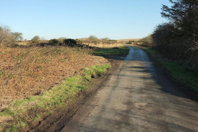
Image: © Derek Harper Taken: 25 Jan 2017
NCN3 follows this lane, seen looking in the opposite direction from where Image] was taken. A field access track veers off to the left.
Images are licensed for reuse under creativecommons.org/licenses/by-sa/2.0
Image Location
Latitude
50.565807
Longitude
-4.677455