Wayland Cottage and Cherrytrees
Introduction
The photograph on this page of Wayland Cottage and Cherrytrees by Michael Dibb as part of the Geograph project.
The Geograph project started in 2005 with the aim of publishing, organising and preserving representative images for every square kilometre of Great Britain, Ireland and the Isle of Man.

There are currently over 7.5m images from over 14,400 individuals and you can help contribute to the project by visiting https://www.geograph.org.uk
Wayland Cottage and Cherrytrees
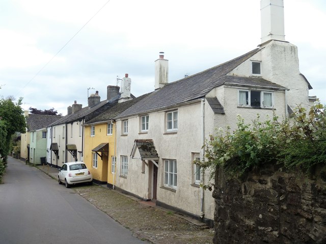
Image: © Michael Dibb Taken: 30 May 2017
These two adjoining early 17th century cottages may have originally been one house and was, at one time, divided into three. There uis some unusual fenestration on the gable end. Listed, grade II, with details at: https://www.historicengland.org.uk/listing/the-list/list-entry/1097079
Images are licensed for reuse under creativecommons.org/licenses/by-sa/2.0
Image Location
Latitude
50.584545
Longitude
-3.565318