Northeast end of Railway Street, Splott, Cardiff
Introduction
The photograph on this page of Northeast end of Railway Street, Splott, Cardiff by Jaggery as part of the Geograph project.
The Geograph project started in 2005 with the aim of publishing, organising and preserving representative images for every square kilometre of Great Britain, Ireland and the Isle of Man.

There are currently over 7.5m images from over 14,400 individuals and you can help contribute to the project by visiting https://www.geograph.org.uk
Northeast end of Railway Street, Splott, Cardiff
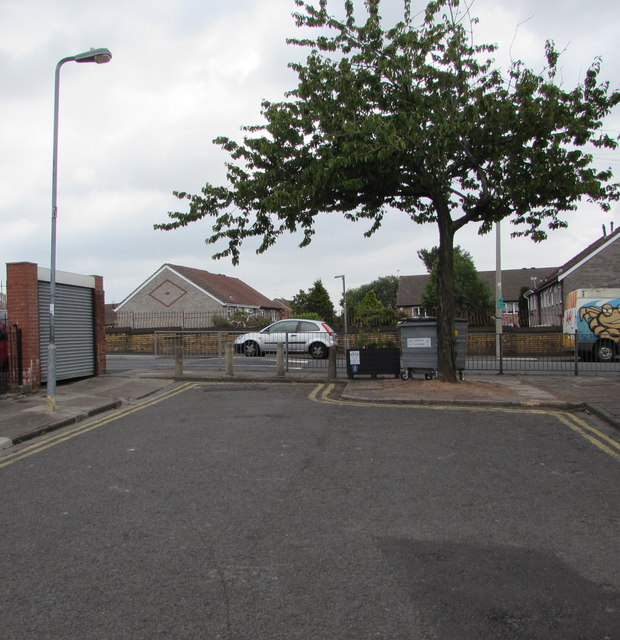
Image: © Jaggery Taken: 16 Jun 2017
Metal railings, concrete posts and a tree prevent the passage of motor vehicles. Double yellow lines indicate no parking at any time.
Images are licensed for reuse under creativecommons.org/licenses/by-sa/2.0
Image Location
Latitude
51.488483
Longitude
-3.147994