The changing face of Whitechapel- view from Alie Street
Introduction
The photograph on this page of The changing face of Whitechapel- view from Alie Street by Jim Osley as part of the Geograph project.
The Geograph project started in 2005 with the aim of publishing, organising and preserving representative images for every square kilometre of Great Britain, Ireland and the Isle of Man.

There are currently over 7.5m images from over 14,400 individuals and you can help contribute to the project by visiting https://www.geograph.org.uk
The changing face of Whitechapel- view from Alie Street
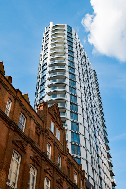
Image: © Jim Osley Taken: 17 Jun 2017
View of apartment block in the Goodman's Fields housing development. In the foreground a Grade II listed former school building of the Victorian era.
Images are licensed for reuse under creativecommons.org/licenses/by-sa/2.0
Image Location
Latitude
51.514638
Longitude
-0.069547