Lake at Kings Langley
Introduction
The photograph on this page of Lake at Kings Langley by Robert Eva as part of the Geograph project.
The Geograph project started in 2005 with the aim of publishing, organising and preserving representative images for every square kilometre of Great Britain, Ireland and the Isle of Man.

There are currently over 7.5m images from over 14,400 individuals and you can help contribute to the project by visiting https://www.geograph.org.uk
Lake at Kings Langley
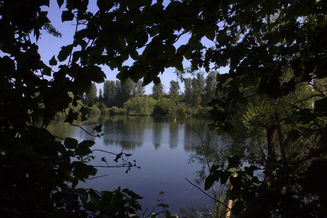
Image: © Robert Eva Taken: 17 Jun 2017
This lake is on the eastern side of the canal towpath and almost totally hidden by a thick hedge. This picture is through one of the few gaps.
Images are licensed for reuse under creativecommons.org/licenses/by-sa/2.0
Image Location
Latitude
51.720047
Longitude
-0.447071