Hangman's Hill
Introduction
The photograph on this page of Hangman's Hill by Jonathan Thacker as part of the Geograph project.
The Geograph project started in 2005 with the aim of publishing, organising and preserving representative images for every square kilometre of Great Britain, Ireland and the Isle of Man.

There are currently over 7.5m images from over 14,400 individuals and you can help contribute to the project by visiting https://www.geograph.org.uk
Hangman's Hill
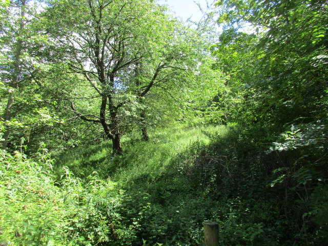
Image: © Jonathan Thacker Taken: 15 Jun 2017
A little stream runs alongside the road largely hidden by vegetation.
Images are licensed for reuse under creativecommons.org/licenses/by-sa/2.0
Image Location
Latitude
51.832266
Longitude
-2.458821