Terraced streets in Leadgate
Introduction
The photograph on this page of Terraced streets in Leadgate by Robert Graham as part of the Geograph project.
The Geograph project started in 2005 with the aim of publishing, organising and preserving representative images for every square kilometre of Great Britain, Ireland and the Isle of Man.

There are currently over 7.5m images from over 14,400 individuals and you can help contribute to the project by visiting https://www.geograph.org.uk
Terraced streets in Leadgate
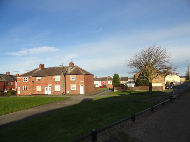
Image: © Robert Graham Taken: 2 Nov 2016
Old terraced housing behind the main street in the village. Tindale Street is the nearest. The picture eis taken from the former railway line.
Images are licensed for reuse under creativecommons.org/licenses/by-sa/2.0
Image Location
Latitude
54.859581
Longitude
-1.810386