Droveway Lane
Introduction
The photograph on this page of Droveway Lane by Derek Harper as part of the Geograph project.
The Geograph project started in 2005 with the aim of publishing, organising and preserving representative images for every square kilometre of Great Britain, Ireland and the Isle of Man.

There are currently over 7.5m images from over 14,400 individuals and you can help contribute to the project by visiting https://www.geograph.org.uk
Droveway Lane
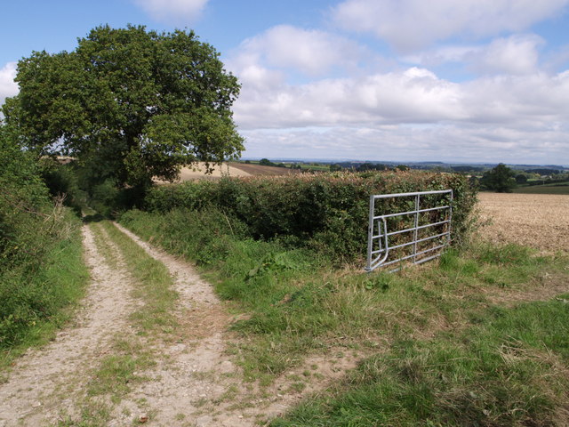
Image: © Derek Harper Taken: 30 Aug 2007
The track, followed by the Monarch's Way and footpath Y18/11, bends to start its descent to cross Cold Brook. At this point footpath Y18/3 leaves to the right through the gateway.
Images are licensed for reuse under creativecommons.org/licenses/by-sa/2.0
Image Location


Leaflet Map data © OpenStreetMap
Latitude
50.969786
Longitude
-2.6149