Ordnance Survey Flush Bracket 11816
Introduction
The photograph on this page of Ordnance Survey Flush Bracket 11816 by Peter Wood as part of the Geograph project.
The Geograph project started in 2005 with the aim of publishing, organising and preserving representative images for every square kilometre of Great Britain, Ireland and the Isle of Man.

There are currently over 7.5m images from over 14,400 individuals and you can help contribute to the project by visiting https://www.geograph.org.uk
Ordnance Survey Flush Bracket 11816
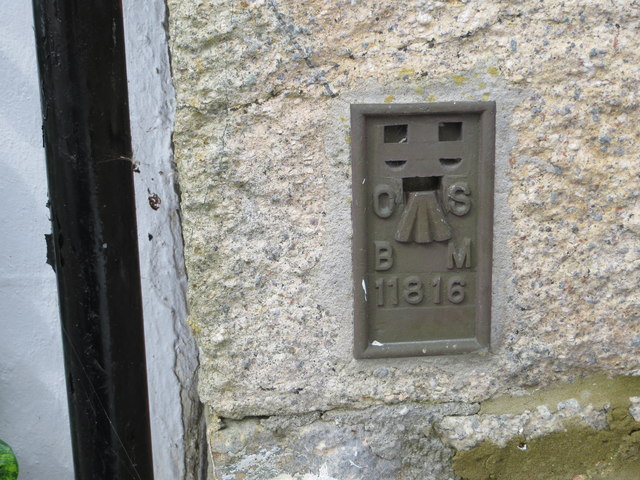
Image: © Peter Wood Taken: 30 Apr 2017
This bracket can be found on the wall of The Coach and Horses Inn at Kenneggy. The benchmark height is recorded as being 79.993 metres above sea level. [The Os have this in SW5629 (SW 5699 2818) whilst my GPS had it in SW5729 (SW 57003 29194) - take your pick] For more detail see : http://www.bench-marks.org.uk/bm11686
Images are licensed for reuse under creativecommons.org/licenses/by-sa/2.0
Image Location
Latitude
50.112988
Longitude
-5.400206