Taunton: approaching the County Ground
Introduction
The photograph on this page of Taunton: approaching the County Ground by John Sutton as part of the Geograph project.
The Geograph project started in 2005 with the aim of publishing, organising and preserving representative images for every square kilometre of Great Britain, Ireland and the Isle of Man.

There are currently over 7.5m images from over 14,400 individuals and you can help contribute to the project by visiting https://www.geograph.org.uk
Taunton: approaching the County Ground
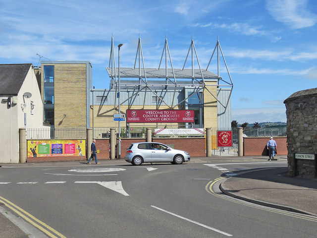
Image: © John Sutton Taken: 13 Jun 2017
Looking from Cannon Street towards the rear of the Somerset Pavilion. For an idea of how things were before the Pavilion was completed in 2016, see Image] Image]
Images are licensed for reuse under creativecommons.org/licenses/by-sa/2.0
Image Location
Latitude
51.017841
Longitude
-3.099974