Vandalised Gipsy Lane bus shelter, Llanfoist
Introduction
The photograph on this page of Vandalised Gipsy Lane bus shelter, Llanfoist by Jaggery as part of the Geograph project.
The Geograph project started in 2005 with the aim of publishing, organising and preserving representative images for every square kilometre of Great Britain, Ireland and the Isle of Man.

There are currently over 7.5m images from over 14,400 individuals and you can help contribute to the project by visiting https://www.geograph.org.uk
Vandalised Gipsy Lane bus shelter, Llanfoist
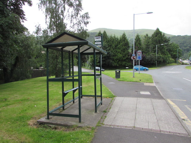
Image: © Jaggery Taken: 11 Jun 2017
In June 2017, there is no glass in any of the shelter frames, presumably because of vandalism. The shelter is alongside Merthyr Road at this http://www.geograph.org.uk/photo/5427765 bus stop. The name on the bus stop sign on the shelter is Gipsy Lane. The Gipsy Lane junction is in the background.
Images are licensed for reuse under creativecommons.org/licenses/by-sa/2.0
Image Location
Latitude
51.814
Longitude
-3.029316