33, King Street, Carmarthen
Introduction
The photograph on this page of 33, King Street, Carmarthen by Richard Law as part of the Geograph project.
The Geograph project started in 2005 with the aim of publishing, organising and preserving representative images for every square kilometre of Great Britain, Ireland and the Isle of Man.

There are currently over 7.5m images from over 14,400 individuals and you can help contribute to the project by visiting https://www.geograph.org.uk
33, King Street, Carmarthen
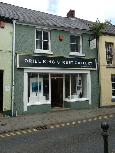
Image: © Richard Law Taken: 30 May 2017
One of a series of Grade II listed buildings along King Street, this one having a joint listing with 34 next door on its left https://www.britishlistedbuildings.co.uk/300009466-nos33-34-king-streetdyfed-carmarthen#.WUDcAusrKM8 The property dates in its present form from the 18th century, and has been much altered since then; one of the most interesting features is the 10-foot thick dividing wall in the cellar between this and no 34, which is believed to be a piece of the original early 15th century medieval town walls.
Images are licensed for reuse under creativecommons.org/licenses/by-sa/2.0
Image Location
Latitude
51.857885
Longitude
-4.304014