Gasometer at Bracebridge
Introduction
The photograph on this page of Gasometer at Bracebridge by Matthew Smith as part of the Geograph project.
The Geograph project started in 2005 with the aim of publishing, organising and preserving representative images for every square kilometre of Great Britain, Ireland and the Isle of Man.

There are currently over 7.5m images from over 14,400 individuals and you can help contribute to the project by visiting https://www.geograph.org.uk
Gasometer at Bracebridge
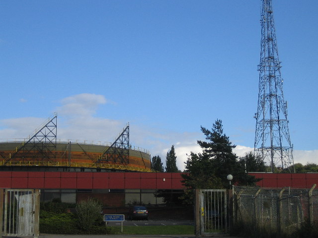
Image: © Matthew Smith Taken: 16 Sep 2005
The Lincoln gas works, a gasometer and a radio mast can be clearly seen. The entrance to the Lincoln Priory School (formerly Lincoln School of Science and Technology) is less obvious.
Images are licensed for reuse under creativecommons.org/licenses/by-sa/2.0
Image Location


Leaflet Map data © OpenStreetMap
Latitude
53.207427
Longitude
-0.549106