More houses on Westbourne Road
Introduction
The photograph on this page of More houses on Westbourne Road by John M as part of the Geograph project.
The Geograph project started in 2005 with the aim of publishing, organising and preserving representative images for every square kilometre of Great Britain, Ireland and the Isle of Man.

There are currently over 7.5m images from over 14,400 individuals and you can help contribute to the project by visiting https://www.geograph.org.uk
More houses on Westbourne Road
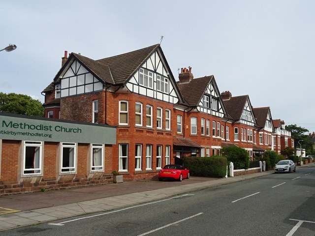
Image: © John M Taken: 9 Jun 2017
Similar in date and sharing some details with other pre-1899 properties in the street suggesting same architect/developer. The original Methodist Chapel dates from same period.
Images are licensed for reuse under creativecommons.org/licenses/by-sa/2.0
Image Location
Latitude
53.371126
Longitude
-3.18146