Junction Dock
Introduction
The photograph on this page of Junction Dock by Tom Sargent as part of the Geograph project.
The Geograph project started in 2005 with the aim of publishing, organising and preserving representative images for every square kilometre of Great Britain, Ireland and the Isle of Man.

There are currently over 7.5m images from over 14,400 individuals and you can help contribute to the project by visiting https://www.geograph.org.uk
Junction Dock
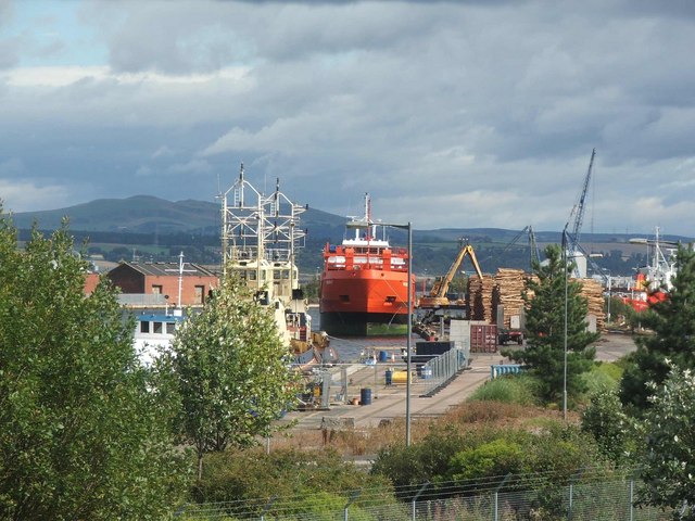
Image: © Tom Sargent Taken: 31 Aug 2007
The docks have been further extended to form a large container port beyond the Junction dock. For security reasons they are not visible from the road.
Images are licensed for reuse under creativecommons.org/licenses/by-sa/2.0
Image Location
Latitude
56.021671
Longitude
-3.727681