Citadel Close, Tredegar
Introduction
The photograph on this page of Citadel Close, Tredegar by Jaggery as part of the Geograph project.
The Geograph project started in 2005 with the aim of publishing, organising and preserving representative images for every square kilometre of Great Britain, Ireland and the Isle of Man.

There are currently over 7.5m images from over 14,400 individuals and you can help contribute to the project by visiting https://www.geograph.org.uk
Citadel Close, Tredegar
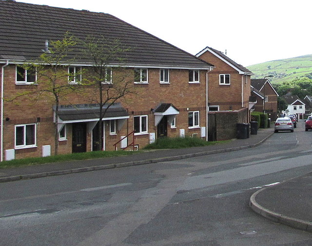
Image: © Jaggery Taken: 1 Jun 2017
Separately-named area of houses at the northern end of Union Street near the corner of Earl Street.
Images are licensed for reuse under creativecommons.org/licenses/by-sa/2.0
Image Location
Latitude
51.773121
Longitude
-3.248688