Above ground goes under ground
Introduction
The photograph on this page of Above ground goes under ground by Robin Webster as part of the Geograph project.
The Geograph project started in 2005 with the aim of publishing, organising and preserving representative images for every square kilometre of Great Britain, Ireland and the Isle of Man.

There are currently over 7.5m images from over 14,400 individuals and you can help contribute to the project by visiting https://www.geograph.org.uk
Above ground goes under ground
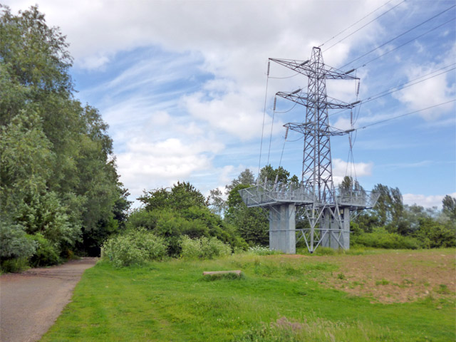
Image: © Robin Webster Taken: 10 Jun 2017
Even according to fairly recent maps, this line once continued northwards above ground in the normal way.
Images are licensed for reuse under creativecommons.org/licenses/by-sa/2.0
Image Location
Latitude
51.503245
Longitude
-0.495083