Bristol and Bath Railway Path
Introduction
The photograph on this page of Bristol and Bath Railway Path by Bill Boaden as part of the Geograph project.
The Geograph project started in 2005 with the aim of publishing, organising and preserving representative images for every square kilometre of Great Britain, Ireland and the Isle of Man.

There are currently over 7.5m images from over 14,400 individuals and you can help contribute to the project by visiting https://www.geograph.org.uk
Bristol and Bath Railway Path
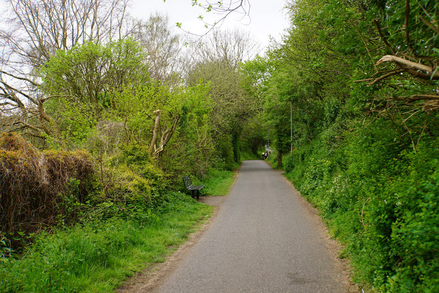
Image: © Bill Boaden Taken: 14 Apr 2017
One of the first former railways to be developed into a cycle route, now part of National Cycle Route 4. I understand there have been plans to convert this route to a guided busway, but also that it is currently safe as it is.
Images are licensed for reuse under creativecommons.org/licenses/by-sa/2.0
Image Location
Latitude
51.463006
Longitude
-2.559468