Track-bed, old Staines West branch
Introduction
The photograph on this page of Track-bed, old Staines West branch by Robin Webster as part of the Geograph project.
The Geograph project started in 2005 with the aim of publishing, organising and preserving representative images for every square kilometre of Great Britain, Ireland and the Isle of Man.

There are currently over 7.5m images from over 14,400 individuals and you can help contribute to the project by visiting https://www.geograph.org.uk
Track-bed, old Staines West branch
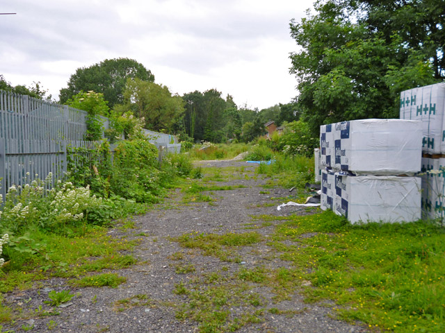
Image: © Robin Webster Taken: 10 Jun 2017
Looking south from Bath Road through a security fence. The line south from here closed in 1981, and was then severed by the M25 construction.
Images are licensed for reuse under creativecommons.org/licenses/by-sa/2.0
Image Location
Latitude
51.47861
Longitude
-0.50943