Bishop's Way, Exeter
Introduction
The photograph on this page of Bishop's Way, Exeter by Derek Harper as part of the Geograph project.
The Geograph project started in 2005 with the aim of publishing, organising and preserving representative images for every square kilometre of Great Britain, Ireland and the Isle of Man.

There are currently over 7.5m images from over 14,400 individuals and you can help contribute to the project by visiting https://www.geograph.org.uk
Bishop's Way, Exeter
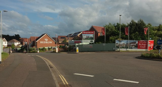
Image: © Derek Harper Taken: 3 Jun 2017
New housing built within a disused sandstone quarry, of which some cliff faces remain. The roundabout is at the junction with Apple Lane, which has the distinction of leaving the junction twice as an industrial estate road and once as a footpath.
Images are licensed for reuse under creativecommons.org/licenses/by-sa/2.0
Image Location
Latitude
50.713678
Longitude
-3.469613