Road junction at the bottom of Station Road
Introduction
The photograph on this page of Road junction at the bottom of Station Road by John M as part of the Geograph project.
The Geograph project started in 2005 with the aim of publishing, organising and preserving representative images for every square kilometre of Great Britain, Ireland and the Isle of Man.

There are currently over 7.5m images from over 14,400 individuals and you can help contribute to the project by visiting https://www.geograph.org.uk
Road junction at the bottom of Station Road
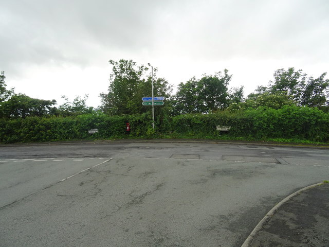
Image: © John M Taken: 10 Jun 2017
The Wirral Way has to leave the former railway track as the station areas were sold separately for housing developments.
Images are licensed for reuse under creativecommons.org/licenses/by-sa/2.0
Image Location
Latitude
53.319634
Longitude
-3.104675