Former Dairy Crest depot, 57-61, Military Road
Introduction
The photograph on this page of Former Dairy Crest depot, 57-61, Military Road by John Baker as part of the Geograph project.
The Geograph project started in 2005 with the aim of publishing, organising and preserving representative images for every square kilometre of Great Britain, Ireland and the Isle of Man.

There are currently over 7.5m images from over 14,400 individuals and you can help contribute to the project by visiting https://www.geograph.org.uk
Former Dairy Crest depot, 57-61, Military Road
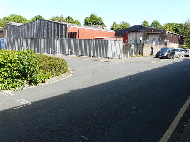
Image: © John Baker Taken: 21 May 2017
Canterbury City Council is considering whether or not to grant planning permission under application number CA//17/00648 for a “proposed two-storey building with accommodation in the roof space and three-storey building with basement comprising of 194 student rooms and associated facilities; amenity space; parking; access and areas of landscaping following demolition of existing buildings and structures”. This is the back of the former depot from Notley Street (likewise this image of the Image) and this the view of the Image was taken from the front.
Images are licensed for reuse under creativecommons.org/licenses/by-sa/2.0
Image Location
Latitude
51.283065
Longitude
1.088533