The Rodwell Trail
Introduction
The photograph on this page of The Rodwell Trail by John Allan as part of the Geograph project.
The Geograph project started in 2005 with the aim of publishing, organising and preserving representative images for every square kilometre of Great Britain, Ireland and the Isle of Man.

There are currently over 7.5m images from over 14,400 individuals and you can help contribute to the project by visiting https://www.geograph.org.uk
The Rodwell Trail
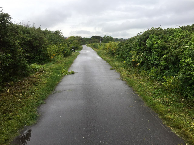
Image: © John Allan Taken: 17 May 2017
The trail is a route for walkers and cyclists. It follows the line of an old railway and forms part of the South West Coast Path.
Images are licensed for reuse under creativecommons.org/licenses/by-sa/2.0
Image Location
Latitude
50.591252
Longitude
-2.466987