St Peter's Roman Catholic Church
Introduction
The photograph on this page of St Peter's Roman Catholic Church by Lairich Rig as part of the Geograph project.
The Geograph project started in 2005 with the aim of publishing, organising and preserving representative images for every square kilometre of Great Britain, Ireland and the Isle of Man.

There are currently over 7.5m images from over 14,400 individuals and you can help contribute to the project by visiting https://www.geograph.org.uk
St Peter's Roman Catholic Church
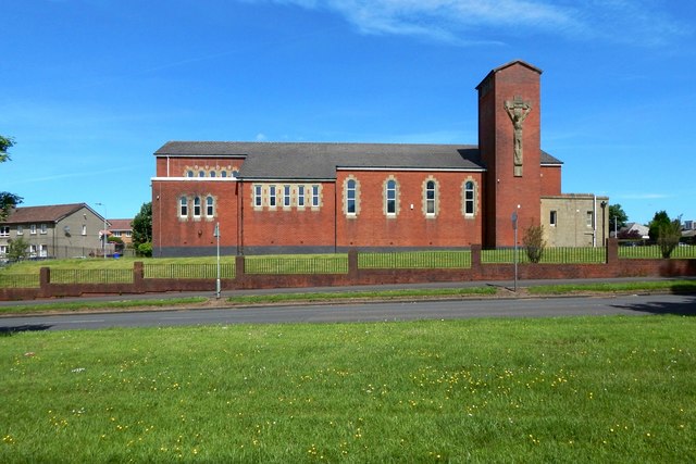
Image: © Lairich Rig Taken: 31 May 2017
The view is from a cycle path that runs parallel to and just south of Glenburn Road: Image Earlier pictures of the church by various contributors, in order of submission: Image / Image / Image / Image
Images are licensed for reuse under creativecommons.org/licenses/by-sa/2.0
Image Location
Latitude
55.820848
Longitude
-4.437449