Junction of Melton Road and Checketts Road
Introduction
The photograph on this page of Junction of Melton Road and Checketts Road by Roger Templeman as part of the Geograph project.
The Geograph project started in 2005 with the aim of publishing, organising and preserving representative images for every square kilometre of Great Britain, Ireland and the Isle of Man.

There are currently over 7.5m images from over 14,400 individuals and you can help contribute to the project by visiting https://www.geograph.org.uk
Junction of Melton Road and Checketts Road
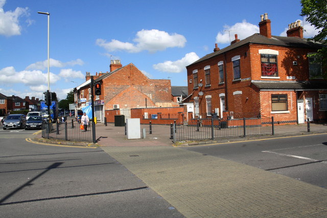
Image: © Roger Templeman Taken: 5 May 2017
See http://www.bench-marks.org.uk/bm22278 for information on toll house at this location in 1856
Images are licensed for reuse under creativecommons.org/licenses/by-sa/2.0
Image Location
Latitude
52.657702
Longitude
-1.116916