Peebles Farm
Introduction
The photograph on this page of Peebles Farm by Anne Burgess as part of the Geograph project.
The Geograph project started in 2005 with the aim of publishing, organising and preserving representative images for every square kilometre of Great Britain, Ireland and the Isle of Man.

There are currently over 7.5m images from over 14,400 individuals and you can help contribute to the project by visiting https://www.geograph.org.uk
Peebles Farm
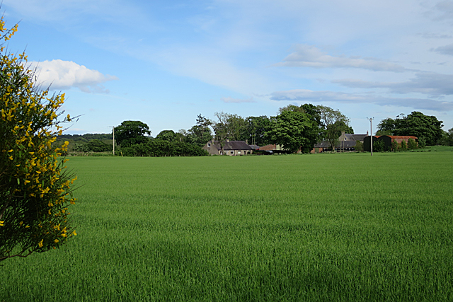
Image: © Anne Burgess Taken: 7 Jun 2017
Peebles is on the minor back road from Arbroath to Colliston. This is from the even more minor road linking it to Muirheads - so minor that although the maps show it as a public road, the council has evidently given up on it.
Images are licensed for reuse under creativecommons.org/licenses/by-sa/2.0
Image Location
Latitude
56.594381
Longitude
-2.617645