Chapel Hill
Introduction
The photograph on this page of Chapel Hill by valenta as part of the Geograph project.
The Geograph project started in 2005 with the aim of publishing, organising and preserving representative images for every square kilometre of Great Britain, Ireland and the Isle of Man.

There are currently over 7.5m images from over 14,400 individuals and you can help contribute to the project by visiting https://www.geograph.org.uk
Chapel Hill
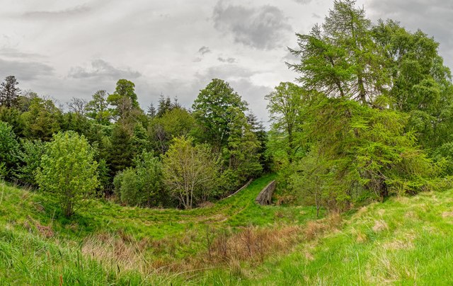
Image: © valenta Taken: 19 May 2017
On the former Rosehaugh Estate, this stone bridge over the Killen Burn links two fields but would have been much more important during the estate's heydey. Judging by its overgrown nature it is little used today
Images are licensed for reuse under creativecommons.org/licenses/by-sa/2.0
Image Location


Leaflet Map data © OpenStreetMap
Latitude
57.58096
Longitude
-4.221463