Former Sawyers Arms
Introduction
The photograph on this page of Former Sawyers Arms by Ian Capper as part of the Geograph project.
The Geograph project started in 2005 with the aim of publishing, organising and preserving representative images for every square kilometre of Great Britain, Ireland and the Isle of Man.

There are currently over 7.5m images from over 14,400 individuals and you can help contribute to the project by visiting https://www.geograph.org.uk
Former Sawyers Arms
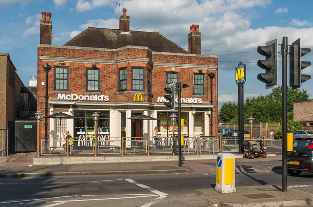
Image: © Ian Capper Taken: 24 May 2017
A former pub on Hastings Road, now a McDonald's fast food restaurant. There was a pub on the site by the 1840s, and a c.1920 photo shows a much simpler cottage-like building with a large Sawyers Arms sign on the front. The 1933 1:2500 map shows the current, much larger, building suggesting that its rebuilding may have coincided with the building of the bus garage next door (see Image) with the additional clientele it would have provided. It is thought to have closed as a pub in the late 1990s.
Images are licensed for reuse under creativecommons.org/licenses/by-sa/2.0
Image Location
Latitude
51.375418
Longitude
0.044657